
Rezoning 3.6 acres north of Silver Drive to R-3 in Umatilla
- Proposed
- Approved
- Building
- Done
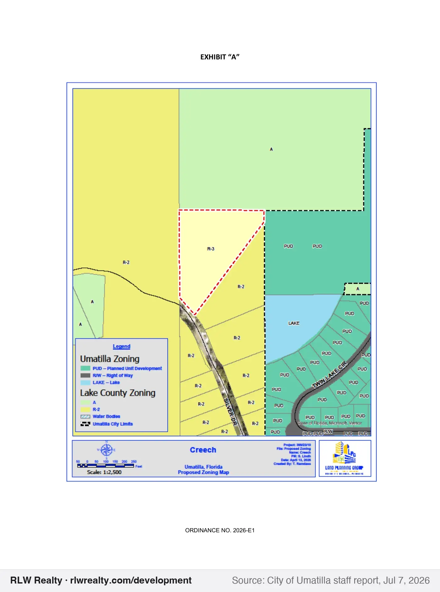
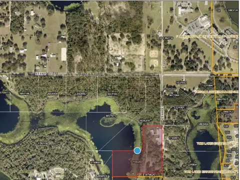
Rezoning of 3.6 acres north of Silver Drive and west of State Road 19, developed with one home, from Lake County Estate Residential (R-2) to City Low Density Residential (R-3). Staff recommends approval. It was on City Council and Land Planning Agency agendas on Jul 7, 2026 and the City Council agenda on Jul 21, 2026.
Outcome confirmed: Umatilla Ordinance 2026-E1 was recorded with the Lake County Clerk on July 24, 2026 (Instrument 2026091115, OR Book/Page 6782/1109). Cities record ordinances after adoption.
More in AltoonaGet monthly updates
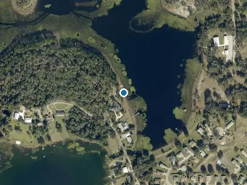
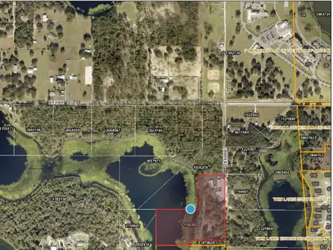
Outline shows the parcel(s) named in the record. Zoom in for 2025 county aerials.
Key facts
- Type
- rezoning
- Status
- approved (July 21, 2026)
- Government
- Umatilla
- Near
- Altoona
- Location
- North of Silver Drive and west of SR 19
- Size
- 3.6 acres
- Zoning change
- Lake County Estate Residential (R-2) to Low Density Residential District (R-3)
- Case / record
- 2026-E1
What this means
Rezoning changes the zoning district on a property, which controls what can be built there and how densely. It requires public hearings before the city or county board. How this process works →
Timeline & official records
- July 7, 2026Umatilla Regular City Council Meeting Agenda, Jul 7, 2026
- July 7, 2026Umatilla Land Planning Agency (LPA) Meeting Agenda, Jul 7, 2026
- July 21, 2026Umatilla Regular City Council Meeting Agenda, Jul 21, 2026
- July 24, 2026Lake County Clerk official records: search Instrument 2026091115 (Umatilla Ordinance 2026-E1)
How we placed this on the map
- Alternate key(s) 2759607 named in the record
Property appraiser: Alt Key 2759607
Compiled by RLW Realty from public records; summary written from the staff report. Status can change between our weekly updates; confirm with the agency before relying on it.
Also nearby
Own property near here?
New projects change what nearby homes and land are worth. We'll tell you what this one could mean for yours.