
Corrected land use for 6.67 acres on South Fishcamp Road
- Proposed
- Approved
- Building
- Done
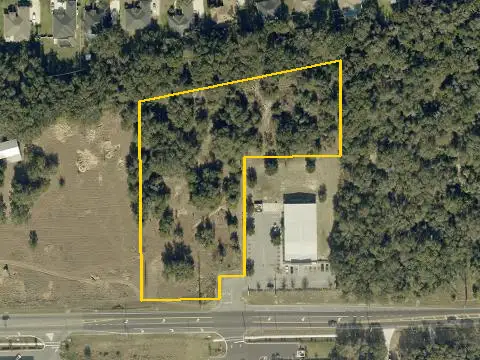
An ordinance repealing and replacing a 2024 land use amendment for about 6.67 acres on the west side of South Fishcamp Road, north of County Road 44. The land use changes from Lake County Urban Low to city Mixed Commercial Residential. The replacement adds a complete metes-and-bounds legal description. The City Commission approved it on Mar 19, 2026.
More in Grand IslandGet monthly updates
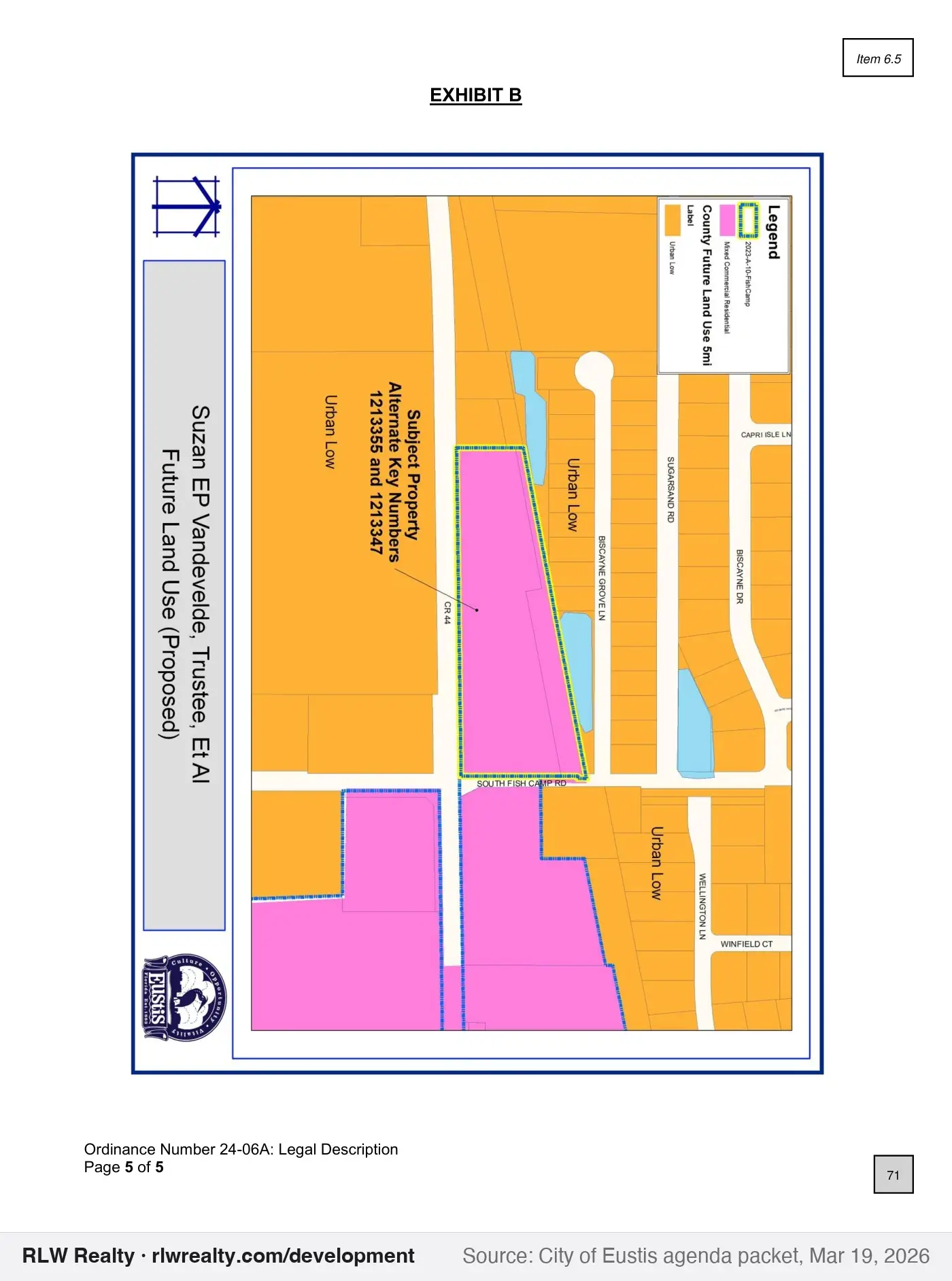
Outline shows the parcel(s) named in the record. Zoom in for 2025 county aerials.
Key facts
- Type
- land use change
- Status
- approved (March 19, 2026)
- Government
- Eustis
- Near
- Grand Island
- Location
- West side of South Fishcamp Road, north of County Road 44
- Size
- 6.67 acres
- Case / record
- 24-06A
What this means
A comprehensive plan or future land use map amendment changes the long-range land-use category for land. It sets the range of zoning that can later be allowed. How this process works →
Timeline & official records
- February 19, 2026Eustis City Commission Agenda, Feb 19, 2026
- February 19, 2026Eustis Local Planning Agency Agenda, Feb 19, 2026
- March 19, 2026Eustis City Commission Agenda, Mar 19, 2026
How we placed this on the map
- Alternate key(s) 1213347, 1213355 named in the record
Property appraiser: Alt Key 1213347, Alt Key 1213355
Compiled by RLW Realty from public records; summary written from the agenda. Status can change between our weekly updates; confirm with the agency before relying on it.
Also nearby
Own property near here?
New projects change what nearby homes and land are worth. We'll tell you what this one could mean for yours.