Eustis proposes downtown land use for Community Center, Northshore Dr
- Proposed
- Approved
- Building
- Done
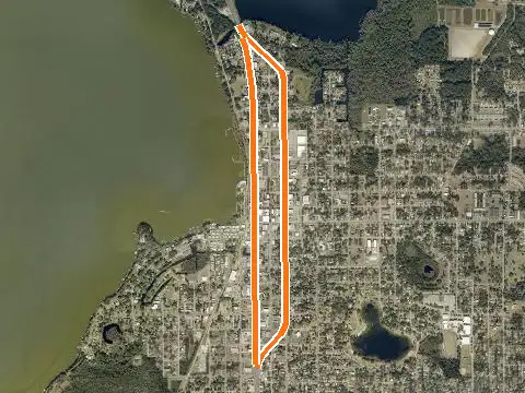
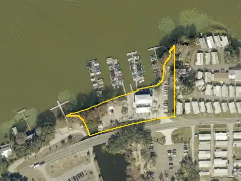
City of Eustis staff initiated a Future Land Use Map amendment (CPLUS-26-0003) for about 2.41 acres of city-owned land at 601 Northshore Drive (the Community Center site) and the inland part of the city property north of W Park Avenue. It would change Public/Institutional and Residential/Office Transitional to Central Business District, citing the Downtown Master Plan. Heard November 5, 2026; minutes not yet online.
More in EustisGet monthly updates
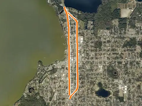
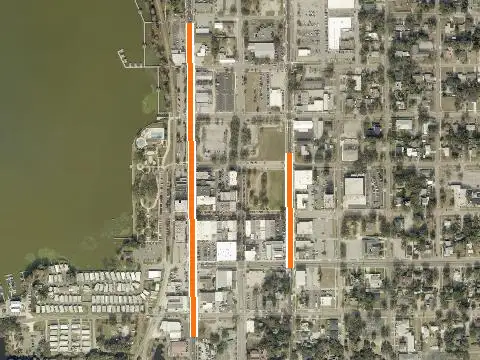
Outline shows the parcel(s) named in the record. Zoom in for 2025 county aerials.
Key facts
- Type
- land use change
- Status
- heard (no minutes online) (November 5, 2026)
- Government
- Eustis
- Near
- Eustis
- Location
- 601 Northshore Dr, Eustis
- Size
- 2.41 acres
- Case / record
- Ordinance 2026-37
What this means
A comprehensive plan or future land use map amendment changes the long-range land-use category for land. It sets the range of zoning that can later be allowed. How this process works →
Timeline & official records
- November 5, 2026Eustis City Commission Agenda, Nov 5, 2026
- November 5, 2026Eustis Local Planning Agency Agenda, Nov 5, 2026
How we placed this on the map
- Alternate key(s) 1197546, 1197601 named in the record
Property appraiser: Alt Key 1197546, Alt Key 1197601
Compiled by RLW Realty from public records; summary written from the staff report. Status can change between our updates; confirm with the agency before relying on it.
Hear about the next one first.
Once a month: new businesses, homes and roads planned near Eustis, from the official records. Free, and one click to stop.
Or see them in your feed: Follow RLW Realty on Facebook